Home Researching Your Family History Historical Maps
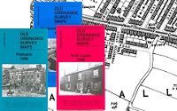
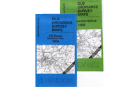
CD of 300 MapsAlan Godfrey RangeCassini - Old SeriesCassini - Past and Present


")


